Rosewood History
MAPS and STATISTICS
Cadastral Map (1913) – 40 chain AG2 series 1887-1932 – Moreton District (Queensland Government)
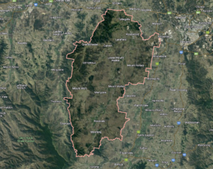
Map of Rosewood
Author/Creator: National Trust of Queensland Architectural Plans
Part of Series 2: Brisbane Valley: a townscape study (Accession number 3329) 1838-1988
State Library of Queensland
Queensland 1:10 000 series topographic map 9442-17, Rosewood / Prepared and published by the Department of Mapping and Surveying, Brisbane 1978
Electoral List for the Town and Borough of Ipswich, Colony of New South Wales, 21st December 1855.
Rainfall Chart 1922-2022
City of Ipswich Community Profile
Published 07/02/2024

